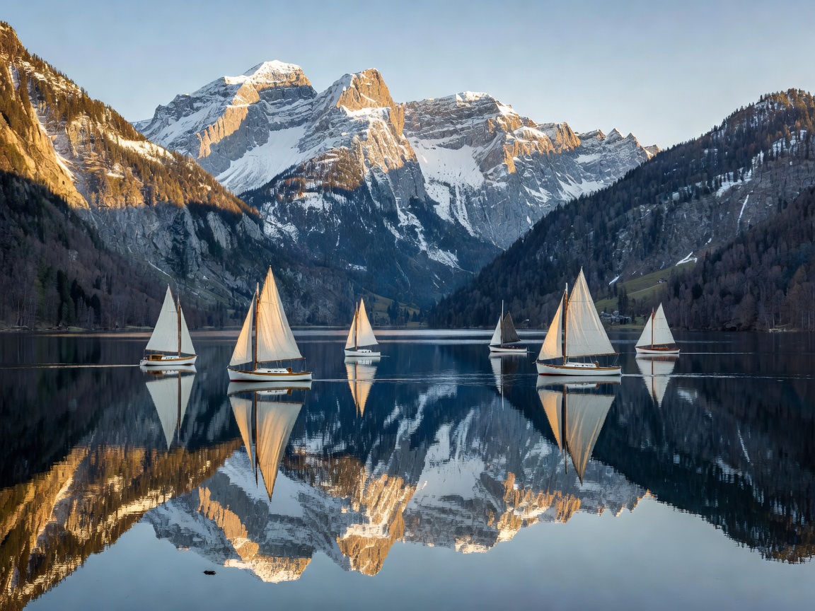
Situated in the Pinzgau district of the federal province of Salzburg, Zell am See represents the quintessence of Austrian alpine versatility. Here, the cobalt waters of Lake Zell mirror the four-kilometer-wide wall of the Schmittenhöhe, while a few kilometers south, the high alpine ramparts of the Hohe Tauern National Park surge vertically toward thirty summits exceeding 3,000 meters in height. The crowning glory of this alpine kingdom is the twin attraction of the Kitzsteinhorn Glacier and the monumental engineering achievement of the Grossglockner High Alpine Road.
Top of Salzburg: Kitzsteinhorn (3,029m)
Rising above the neighboring village of Kaprun, the Kitzsteinhorn is Salzburg province's highest accessible mountain plateau. Known across Europe for its state-of-the-art lift infrastructure—specifically the 3K K-onnection tricable gondola linking the valley center of Kaprun with the glacier—visitors ascend across four climate zones in complete silent comfort.
Kitzsteinhorn High Altitude Metrics
Top of Salzburg Elevation: 3,029 meters
Glacier Ski Season: October through early June (reliable permafrost snow)
National Park Gallery: 360-meter illuminated tunnel piercing through the mountain core
Panoramic Horizon: Direct line of sight to Austria's highest peak, the Grossglockner (3,798m)
At the 3,029-meter terminus, the Nationalpark Gallery invites visitors to walk through a 360-meter educational tunnel carved directly into the mountain's bedrock. The tunnel emerges at a spectacular open-air viewing platform hanging over the precipitous southern face, looking across thousands of square kilometers of untamed glacial valleys in the Hohe Tauern reserve.
The Grossglockner High Alpine Road
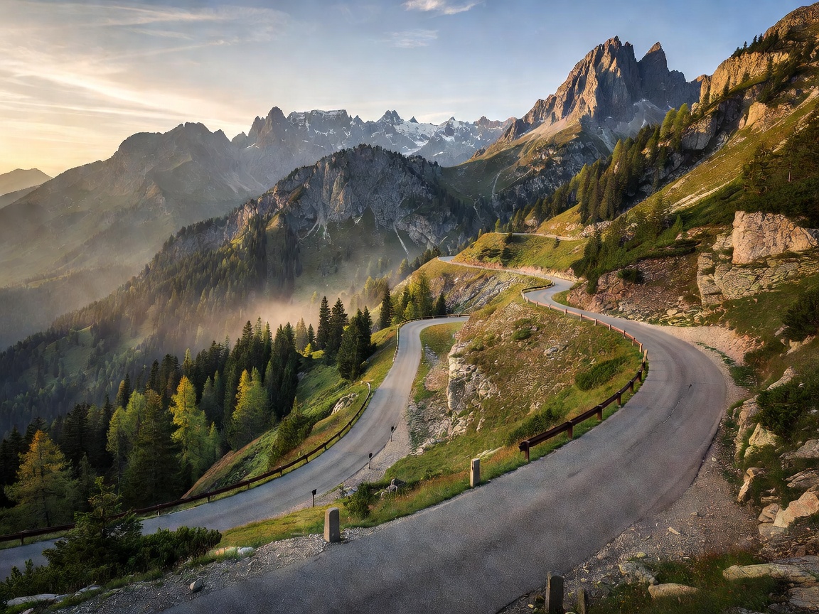
Conceived during the Great Depression by visionary civil engineer Franz Wallack and opened in August 1935, the Großglockner Hochalpenstraße is celebrated as one of the world's greatest scenic driving routes. Spanning 48 kilometers from Fusch an der Glocknerstraße in Salzburg to Heiligenblut in Carinthia, the road climbs through 36 numbered hairpin curves (Kehren) to reach its highest point at the Hochtor pass (2,504m).
The Kaiser-Franz-Josefs-Höhe (2,369m)
The definitive stop along the route is Kaiser-Franz-Josefs-Höhe, named in honor of Emperor Franz Joseph I who hiked to this exact vantage point with Empress Elisabeth (Sisi) in 1856. Today, a modern visitor center and multi-tiered observatory overlook the massive Pasterze—Austria’s longest glacier, stretching over eight kilometers along the base of the Grossglockner pyramid.
Grossglockner Driving & Transit Advisory
Operating Window: Early May to late October (strictly closed during heavy winter snowfall)
Road Quality: Fully paved two-lane asphalt with engineered crash barriers and graded gradients (max 12%)
Public Transit Option: Glocknerbus express departs regularly from Zell am See train station during peak summer
Lakeside Serenity: Lake Zell (Zeller See)
Back in the valley floor at 757 meters altitude, Lake Zell offers crystalline drinking-quality glacial water. During summer, the historic motor vessel MS Schmittenhöhe cruises along the perimeter, stopping at the Grand Hotel Zell am See—a magnificent 19th-century Belle Époque landmark projecting out into the lake waters.
For hikers, ascending the Schmittenhöhe (1,965m) via the Porsche Design gondolas rewards mountaineers with an iconic 360-degree panorama encompassing over thirty distinct 3,000-meter peaks, creating the definitive Austrian landscape memory.